Our geography focus for the coming year includes U.S. states & capitals, territories, trails, great lakes, rivers, and other prominent features.
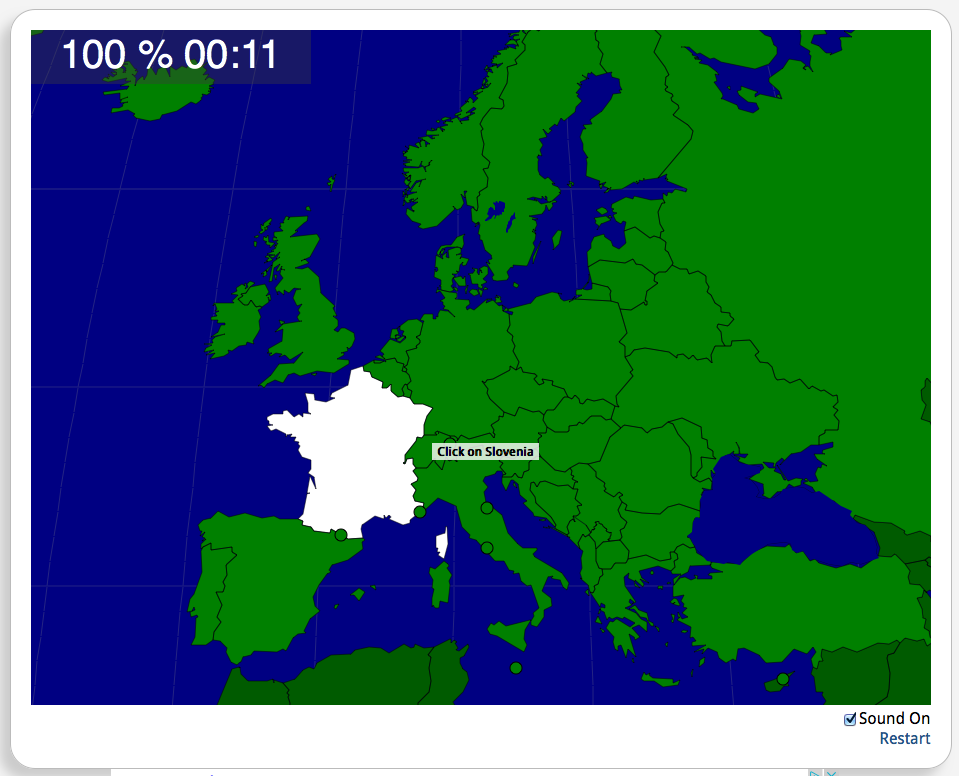
Memorization is our first goal using the show-me / tell-me method, along with tracing or drawing the outline of the United States (and individual state outlines if you or your child feels so inclined). Of everything that follows, our family primarily uses Seterra.com (free download or online version).
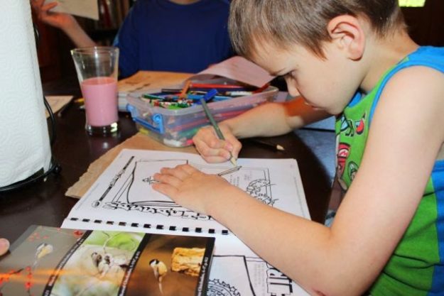
We also occasionally use the U.S. States Coloring pages and a geography file folder game we’ve created for mastery of the states and capitals. Aside from practicing our show me/tell me drills and map drawing & tracing, that’s all we do for geography!
But in addition to this, you may want to pick and choose a few items we have listed here. Please remember that this is a reference list of resources, not a lesson plan. It’s just a place to find stuff.
Coloring Sheets, Copywork, and Lapbooking
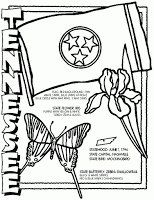
- Our boys (age 2, 5, 8) are each creating a “My United States Notebook” using the state coloring pages and state fact pages from crayola.com. Or use the free USA Notebooking Pages from Productive Homeschooling.
- Create a United States Lapbook using Homeschoolshare’s lapbook components for each state or use this state notebooking page from Homeschool Creations.
- To get an idea of the scope of our land’s resources, landmarks, and beauty, I’m hoping that we have the chance to complete Homeschoolshare’s Unit Study on How to Make a Cherry Pie and See the USA at some point during our school year. Homeschoolshare has many lapbook pieces and other printables for the United States.
- Let your children make their own flashcards to study the capitals (and other facts) by printing Crayola’s state fact flash cards.
Maps
- I like using National Geographic’s Outline Maps for maps. You can print out any country with (to study) or without (to test) borders, and you can print out each individual state with or without details.
- Your Child Learns has interactive maps for study, quizzes for on-line practice of state capitals, map puzzles for memorization of state location and capitals, and instructions for printing megamaps from their site. It even has a cut and paste exercise for major geographical features in the United States.
Games & Other Fun Activities
- U.S. States & Capitals Geography file folder game
- The Passport to America File Folder Game helps with location and recognition of U.S. Landmarks.

- The Oregon Trail File Folder Game provides a little history lesson to go with our memory work when we get to Week 19:

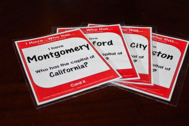
- There are many additional geography games included below, like I Have… Who Has.
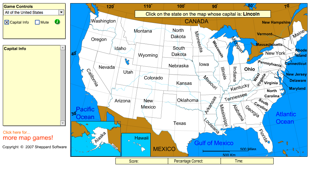
- Practice your geography skills using these on-line games: Sheppard Software, Your Child Learns, and AAAWhere.com (Sheppard Software has many other games, including math practice, science, and preschool activities, just to name a few.)
- Learn U.S History and Geography on this interactive U.S. History Map.
- Our boys LOVE the Animaniacs version of the States & Capitals, to the tune of Turkey in the Straw.
- We LOVE building Paper Toys from papertoys.com. Many paper toys are available, including The Statue of Liberty, The Empire State Building. The Brooklyn Bridge, The U.S. Capitol Building, The White House, The Mississippi Queen Riverboat, and Mount Rushmore. Be sure to download all of the pieces!
- Include the U.S. States in your Timeline Notebook “Book of Decades” (or “Book of Centuries”) timeline notebook.
During our study of American history we use Draw the USA to memorize how to draw the entire United States from memory. It’s a great way to simplify memorizing how to draw the USA free-hand. In fact, if you’re memorizing how to draw the world freehand, we highly recommend the entire Draw the… [Continent] books by Kristin Draeger.
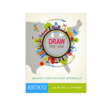
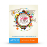
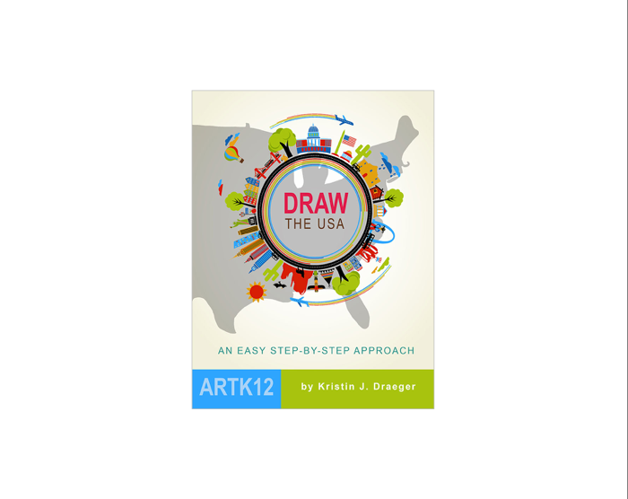
Draw the USA
Learn to draw and label the United States of America from memory! Draw the USA provides students with a simple method of committing the map of the USA to memory. Through simple, step-by-step instructions, students learn to draw each state as it connects to neighboring states. This resource is used in Units 5 & 6 of our Mission: Lasting Liberty curriculum.
Suggested grades: Elementary through High School
Price: $19.95
Format: Paperback.

For more detailed instructions, grab a copy of Draw the World and/or Draw the USA.
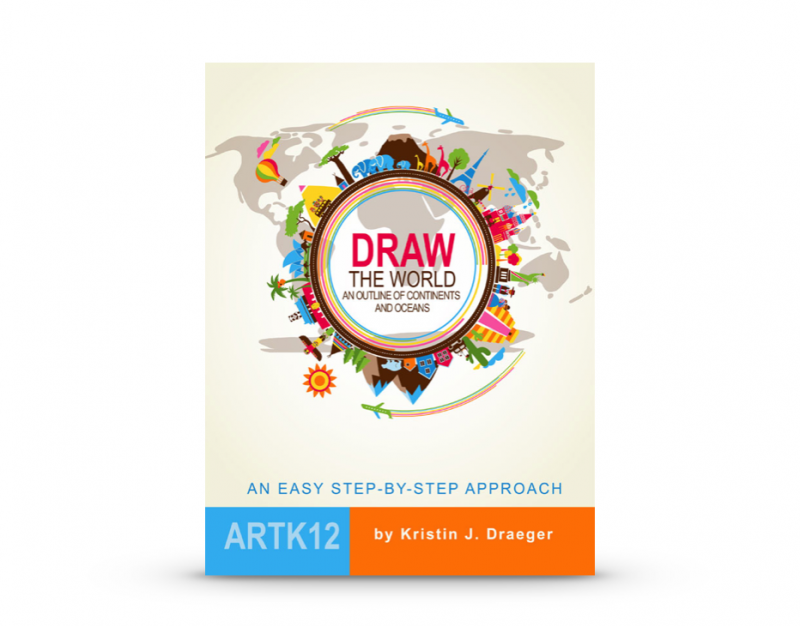
Draw the World
Learn to draw the world from memory! Draw the World provides students with a simple method of committing a continent outline map of the world to memory. Through simple, step-by-step instructions, students learn to draw each continent as it connects to neighboring continents. This resource is also used in the Mission Pacific Peacemakers Six-Week Unit Study.
Suggested grades: Elementary through High School
Price: $19.95
Format: Paperback.
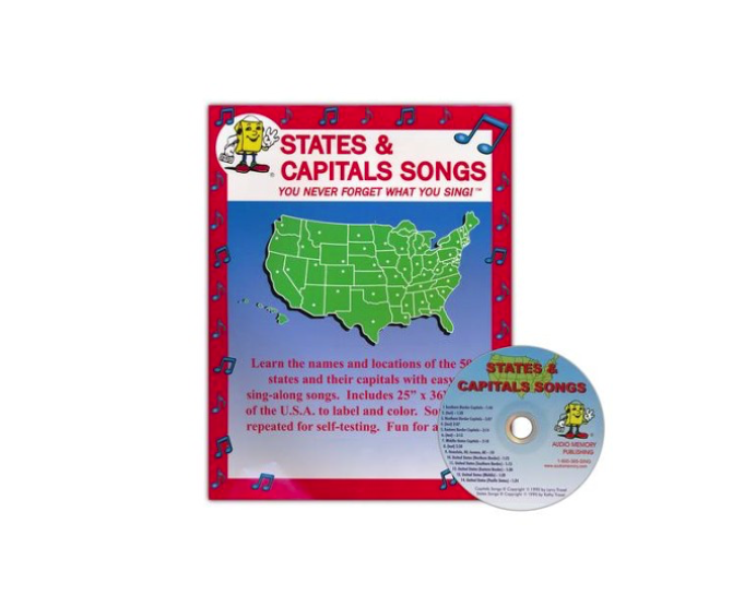
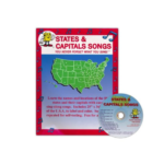
States and Capitals Songs CD + Map Kit
Learn the names and locations of the 50 states and capitals with these catchy songs! Divided by geographical regions, these echo-style songs make it simple to memorize the states and capitals. The USA is divided into five geographical regions: Northern Border States, Southern Border States, Eastern Border States, Middle States, and Pacific States. This resource is used in Units 1 & 2 of our Mission: Lasting Liberty curriculum.
Suggested grades: Elementary School
Price: $12.95
Format: Kit consists of an audio CD and a 25″x36″ blackline map of the USA with 172 items to label. The lyrics are included on the map. Students sing the state/capital names in geographical order.

List of U.S. Geography Resources
States & Capitals – Printable Games:
States & Capitals file folder game
Battle of the States Game
Racin’ Across the United States Game
Scrambled States Memory Game
State Capitals Bingo Game
Right-brained learner picture/story flashcards
States Game: I have… Who has… PDF
Passport to America File Folder Game
States & Capitals Grid Puzzle
Other Free States & Capitals Games | Activities | Worksheets
States & Capitals – Printable Worksheets and Coloring Pages:
States & Capitals Crossword
States & Capitals Grid Puzzle
Transformations on a Map
50 States & Capitals Matching Worksheet #1
50 States & Capitals Matching Worksheet #2
Memorize States & Capitals Worksheets
USA Latitude & Longitude Worksheet
Maps (Basic Map Skills)
Crayola’s state fact flash cards
Crayola’s state coloring pages (search for each state)
50 States: Penelope Peabody is Lost
Keith’s Think Zone Map Fun
States & Capitals – Printable Maps & Activities:
The 50 States Food Puns (funny!)
Individual State Maps – Outline | Physical | Human Geography | Comprehensive and Label-me (GREAT RESOURCE!)
United States Test Map
U.S. State Capital Cities Test Map
USA Numbered Map
US State Regions Packet
50 States Geography Cards
National Geographic’s Outline Maps
Megamaps
How to Make a Salt-Dough Map
States & Capitals – Online Interactives/Games/Videos
Roadschooling the USA – 50 States Before They Graduate
Animated Atlas – Growth of Our Nation
U.S. State Flag On-Line Game
U.S. Capitals On-Line Game
Drag-and-Drop States On-line Game
On-line practice of state capitals
Map puzzles for memorization of state location (challenging)
Interactive maps for study
Your Child Learns Map Puzzles | Quizzes | Interactive Maps
Seterra.com
Sheppard Software
US Games by Region from AAAWhere.com
Interactive U.S. History Map
U.S. State History Info and Videos from history.com
Wakko’s 50 States & Capitals Song/Video
States & Capitals – Notebooking and Lapbooking Pages and State Info
Free Fifty States Notebooking Pages Ebook
Free USA Notebooking Pages from Productive Homeschooling
U.S. State Symbols | flags | history | geographical features | fun facts
United States Lapbook Resources
State notebooking page
How to Make a Cherry Pie and See the USA Unit Study & Lapbook | Click here for book
Free U.S. State Printables
Massachusetts
New York
Brooklyn Bridge Paper Model
Empire State Building Paper Model
Chrysler Building Paper Model
Statue of Liberty Paper Model (Simpler)
Statue of Liberty Paper Model (Complex)
South Dakota
Mount Rushmore Paper Model
Rough Riding the Dakotas
Montana
Lewis & Clark and the Falls of the Missouri
Geographical Features
Chester Comix North American Geography
Landforms On-Line Game
Major U.S. geographical features cut-and-paste
USA Major Landforms Map
Appalachians
Homeschoolshare’s Appalachian Mountain Connections
The Appalachian Trail NPS
Rockies
Pikes Peak Cog railway
U.S. Mountain Ranges Map
Other Western Mountains
Denali National Park & Preserve in Alaska
Pacific Northwest Travel Guide Cascade Mountains in WA
The Seasons of Mount Rainier
Mt St Helens: Back From the Dead
U.S. Mountain Ranges Map
Great Lakes
Can you name the Great Lakes? online quiz
Learn about U.S. Lakes – Online Interactive
USA Lakes Online Game
Bays & Sounds
What is the difference between a bay and a sound?
Major Rivers
USA Major Rivers Map
Learn U.S. Rivers Online Interactive
U.S. Rivers Online Game
Little Toot on the Mississippi Unit Study | Click here for book
Mississippi Queen Riverboat Model
NeoK12 Geography of Rivers for Kids
Trails West
Manifest Destiny for Kids: Online Interactive of Trails
Animated Map: Westward Trails Oregon and Santa Fe
Westward Expansion: Trails West
Trails West in the Mid-1800s Map
Trails West Map
Oregon Trail File Folder Game (printable)
All About the Oregon Trail
Pioneers and History of Westward Expansion/Trails
Canals
Erie Canal Map
The Erie Canal
Erie Canal Unit Study & Notebooking Sheets
Roads and Canals and Rails in the 1800s
The Canal Era
Native Territories
Native American Study
Sign of the Beaver Unit Study & Book Club Ideas
Deserts
Deserts for Kids on National Geographic
Mojave National Preserve
NeoK12 Deserts for Kids
Prominent Features
NPS Grand Canyon for Kids
Olympic National Park
Death Valley
Mammoth Cave
Mississippi Delta
The Gulf of Mexico: Layers of Life (Science Connection)
San Andreas Fault
If you have a favorite U.S. Geography resource to share with others, please leave a comment or email me directly at halfahundredacrewood@ gmail.com