
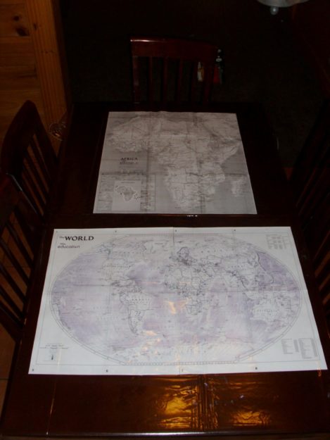
With the purchase of a clear vinyl tablecloth – and the printing, cutting and taping of a few of National Geographic’s Tabletop Maps – we now enjoy extended geography lessons at the dinner table. I think we are finally able to identify all the countries in Africa now, which is great for having this in commission only a few short days!
National Geographic’s free Interactive MapMaker is just too cool (ESPECIALLY when you order a nice, beautiful, laminated map via Amazon, and then notice that the approximate ship date is in… December???? WHAT?!?).
Visit the Mapmaker Launch Guide to explore all the different maps available.
And… we can switch these things out when we progress to other continents in our memory work! Yahoo! (I’m fine, Amazon. You can take your time.)
I have to say this makes for interesting dinner conversation….
Can you pass the salt, please? It’s right over there beside Eritrea.
And we even listen to our Audio Memory Troxel Geography songs more often now, which makes it even better!